B-PLAN HUB
No more searching through hundreds of geoportals. Octoscreen shows every development plan georeferenced and vectorized on a single map. Filter by type of land use and combine it with your own data.
Filter
Mixed-use area

AI summary
3 relevant projects found in the vicinity.
Special area newly designated as a clinic district
Area size documented per project
Procedure status and deadlines captured per document
TRUSTED BY LEADING Companies

THE BOTTLENECK
What and how you're allowed to build at a location is set out in the development plan. But it usually sits as a scanned PDF in one of thousands of municipal geoportals — without structure and without filters. By the time you've found and interpreted it, hours have passed.
Geoportal chaos
PDF without structure
Development plans are usually scans, not data. Without extracted regulations, there's nothing to filter — you read each plan individually, including the textual regulations.
Unclear land use
EVERYTHING ON THE MAP
ON THE MAP
250,000+ development plans on one map
One map view, and you see every development plan on file — georeferenced, validated, instantly accessible. No file number, no official channels, no geoportal.
Bahnhofstraße 36, 85591 Vaterstetten
Development plan
Nördl. Bahnhofplatz - Development Plan No. LXXV "Vaterstetten…
Adjacent
Zugspitzstraße - Development Plan No. XXVI (Vaterstetten / Zugspitzstraße)
Adjacent
Area at the corner of Schwalben-/Fasanenstraße - Development Plan No. CXVII
DIRECT ACCESS
Direct access
No more geoportal hopping. Instead of searching over 12,000 municipal systems one by one, everything is in one place — a single interface for every municipality.
TYPE OF LAND USE
Filter by type of land use
Octoscreen extracts the regulations from every plan. Filter by residential, mixed-use, commercial, core, or special area — and find exactly the sites that are permitted for your project.
MONITORING
Integrates with monitoring
Link development plans to your monitoring. If the planning situation changes at a location relevant to you, you'll know — updated daily.
VALIDATED & VECTORIZED
Validated & vectorized
Every plan is checked and stored as a vector area on the map — not as a loose PDF, but as precise, clickable geometry with scope and boundaries.
YOUR OWN DATA
Combine with your data
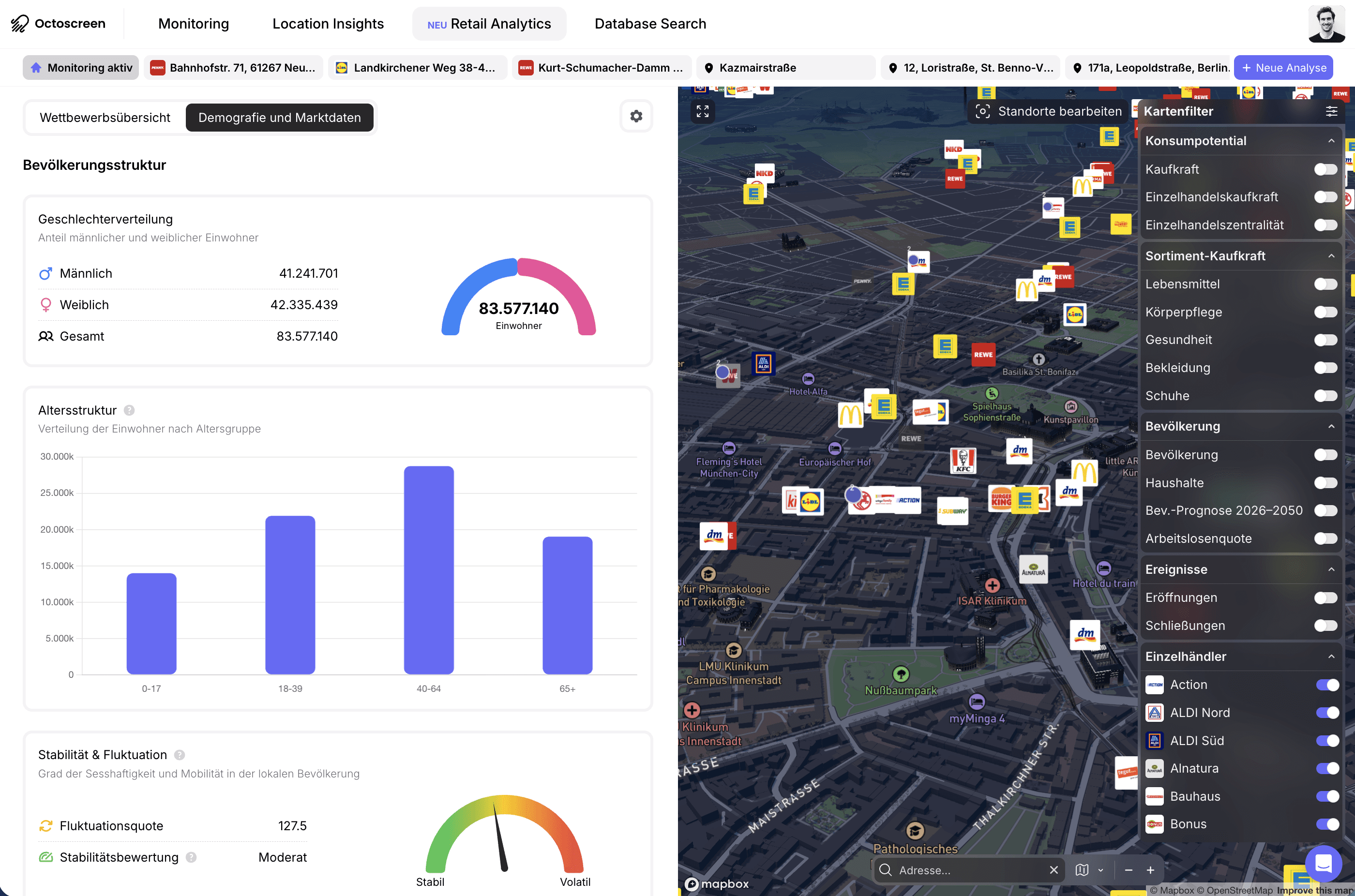
Layer additional data over the plans — your locations, competitor stores, demographic data. The development plan in context, not in isolation.
ORIGINAL DOCUMENTS
The original, always at hand
Not just the map, but the document too: every development plan is stored as the original and downloadable at any time — often including textual regulations and rationale.
IN ACTION
Assess site suitability
For any desired location, see what land use is permitted — area type, scope, and regulations directly on the map.
Find development sites
Filter an entire region by core and special areas and identify permitted sites before others see them.
Assess competitor projects
Understand the planning situation a competitor's location faces — and which sites in the surrounding area are still open.
Site due diligence
Document the planning-law admissibility of every location with the vectorized original plan.
Keep your portfolio in view
Link all the locations in your network to monitoring and learn about plan changes as soon as they happen.
Development plan in context
Combine the plans with demographic data and your store network — and see not just what's permitted, but where it's worth taking a closer look.
THE DATA FOUNDATION







What is the B-Plan Hub?
The B-Plan Hub is Octoscreen's map-based development plan research tool. Over 250,000 development plans are stored georeferenced and vectorized on a single map — accessible with one click, filterable by type of land use, and combinable with your own data.
How many development plans are included?
Over 250,000 development plans from more than 12,000 municipalities — continuously expanded and updated.
Where do the plans come from?
From municipal planning portals, council information systems, and official announcements, accessed via interfaces. Every plan is validated and stored as a vector area on the map.
Can I filter by type of land use?
Yes. Octoscreen extracts the regulations from every plan, so you can filter by residential, mixed-use, commercial, core, or special area.
Can I search in natural language?
Yes. With the AI agent QUIN, you ask questions in plain English and get an answer tied to the specific regulation.
Can I combine my own data?
Yes. You layer additional data over the plans — such as your locations, competitors, or demographic data — and can link areas to monitoring.
How does the B-Plan Hub differ from Database Search?
The B-Plan Hub focuses on development plans, visualized and vectorized on a map and filterable by land use. Database Search searches the entire document corpus of all types as a full-text search. Both draw on the same data foundation.
